File:PRIMARY-Blue Marble 2002.png: Difference between revisions
(NASA's original Blue Marble Map of the Earth from satellite imagery Source: https://visibleearth.nasa.gov/collection/1484/blue-marble) |
|||
| Line 3: | Line 3: | ||
Map of the Earth from satellite imagery | Map of the Earth from satellite imagery | ||
Projection: equirectangular (geographic) | |||
Source: https://visibleearth.nasa.gov/collection/1484/blue-marble | Source: https://visibleearth.nasa.gov/collection/1484/blue-marble | ||
Revision as of 03:59, 7 August 2022
Summary
NASA's original Blue Marble
Map of the Earth from satellite imagery
Projection: equirectangular (geographic)
Source: https://visibleearth.nasa.gov/collection/1484/blue-marble
File history
Click on a date/time to view the file as it appeared at that time.
| Date/Time | Thumbnail | Dimensions | User | Comment | |
|---|---|---|---|---|---|
| current | 03:35, 7 August 2022 | 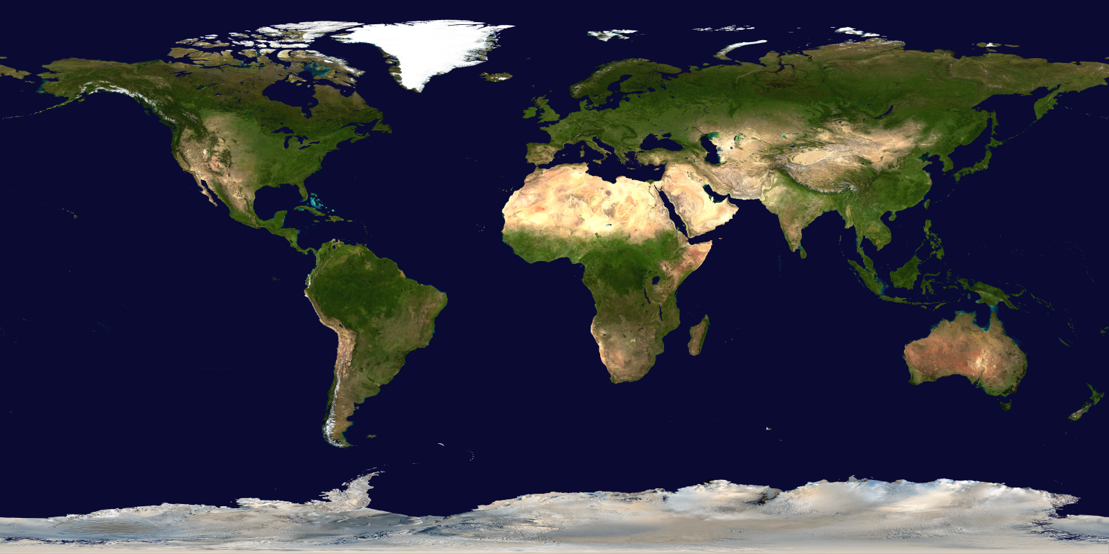 | 1,600 × 800 (903 KB) | Elie (talk | contribs) | NASA's original Blue Marble Map of the Earth from satellite imagery Source: https://visibleearth.nasa.gov/collection/1484/blue-marble |
You cannot overwrite this file.
File usage
There are no pages that use this file.