File:land-crop1.png: Difference between revisions
No edit summary |
|||
| (2 intermediate revisions by the same user not shown) | |||
| Line 1: | Line 1: | ||
==Summary== | |||
Map of Earth with all crop land shown in black. | |||
==Methodology== | |||
Made from [[:File:cropland.data-float32-4320x2160]] and [[:File:blue-marble-posterized.png]]. | |||
[[Code:isochromic.c|Image generator]] code: | |||
cropland<< data/cropland.data-float32-4320x2160 # crop land density | |||
earth << data/blue-marble-posterized.png # base layer | |||
cropland >= 0 # remove junk data | |||
cropland :: earth.r # resize to fit base layer | |||
earth.r -= cropland | |||
earth.g -= cropland | |||
earth.b -= cropland | |||
earth.r @@ 01 | |||
earth.g @@ 01 | |||
earth.b @@ 01 | |||
earth >> data/land-crop1.png | |||
Latest revision as of 09:01, 30 August 2022
Summary
Map of Earth with all crop land shown in black.
Methodology
Made from File:cropland.data-float32-4320x2160 and File:blue-marble-posterized.png.
Image generator code:
cropland<< data/cropland.data-float32-4320x2160  # crop land density
earth   << data/blue-marble-posterized.png       # base layer

cropland >= 0       # remove junk data
cropland :: earth.r # resize to fit base layer

earth.r -= cropland
earth.g -= cropland
earth.b -= cropland
earth.r @@ 01
earth.g @@ 01
earth.b @@ 01
earth >> data/land-crop1.png
File history
Click on a date/time to view the file as it appeared at that time.
| Date/Time | Thumbnail | Dimensions | User | Comment | |
|---|---|---|---|---|---|
| current | 08:58, 30 August 2022 | 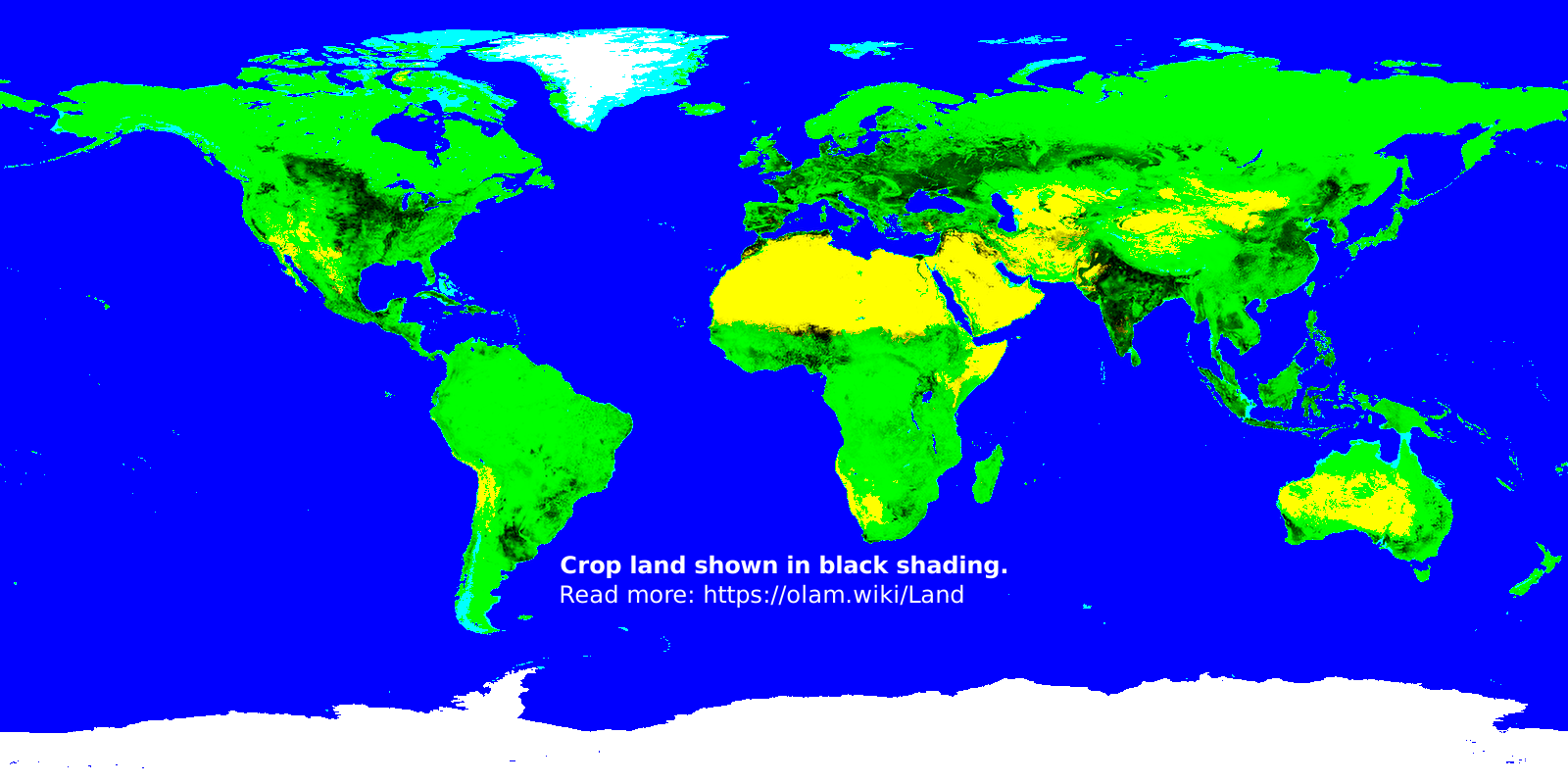 | 1,600 × 800 (302 KB) | Elie (talk | contribs) |
You cannot overwrite this file.
File usage
The following page uses this file: